101 Fuller Springs Road at Chesnut
101 Fuller Springs Road at Chesnut Photographs 101 Fuller Springs Road at Chesnut 1986 Survey Information Site No.: L-0843 Address: 101 Fuller Springs Road at Chesnut Name: Harmony Hill School Date: 1902 Town: Lufkin...
view the listingFrank between Ellis and Gaslight Square
Frank Between Ellis and Gaslight Square 1986 Survey Information Site No.: L-0842 Address: Frank between Ellis and Gaslight Square Date: 1933-1942 Town: Lufkin Description: 1984 marker for Lufkin CCC Camp, located nearby from...
view the listing803 Southwood
803 Southwood Photographs 803 Southwood 1986 Survey Information Site No.: L-0841 Address: 803 Southwood Date: 1910 Town: Lufkin Block: 19 Lot: 54 Condition: Fair Description: 1-story; wood frame with board and batten siding;...
view the listing802 Mantooth
802 Mantooth Photographs 802 Mantooth 1986 Survey Information Site No.: L-0840 Address: 802 Mantooth Date: 1935-40 Town: Lufkin Condition: Good-Fair Description: 1-story; wood frame with bull-nosed siding; trick foundation;...
view the listing420 Mantooth
420 Mantooth Photographs 420 Mantooth 1986 Survey Information Site No.: L-0839 Address: 420 Mantooth Date: 1930-1940 Town: Lufkin Block: 70 Lot: 6, # 3570-3189-070-006.00 Condition: Good Description: 1-story; wood frame with...
view the listing418 Montrose Street
418 Montrose Street 1986 Survey Information Site No.: L-0836 Address: 418 Motrose Street Date: 1920-1930 Town: Lufkin Block: A.C. Campbell Addition, 1 Lot: 1...
view the listing322 Montrose
322 Montrose 1986 Survey Information Site No.: L-0835 Address: 322 Montrose Date: 1915-1920 Town: Lufkin Block: Denman Addition, 8 Lot: South Part of Lot 9 Condition: Fair; altered with bungalow features at porch, some windows...
view the listingShawnee Prairie School
Shawnee Prairie School 1986 Survey Information Site No.: Z-1188 Address: Approximately 7.0 Miles South of Huntington Near Intersection of FM 1818 and 844 Name: Shawnee Prairie School Date: 1880s Town: Shawnee Prairie...
view the listingRocky Hill School
Rocky Hill School 1986 Survey Information Site No.: Z-1187 Address: On county road just north of intersection of Hwy 103 and FM 1669 Name: Rocky Hill School Date: 1880s Condition: Old school building no longer on site [1986...
view the listing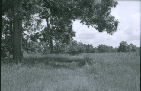
Johnson Family Cemetery
Johnson Family Cemetery 1986 Survey Information Site No.: Z-1186 Address: South of Zavalla, Near Highway 69 Name: Johnson Family Cemetery Date: 1875 Town: Zavalla, near Block: W. T. Johnson Survey Condition: Poor, needs to be...
view the listing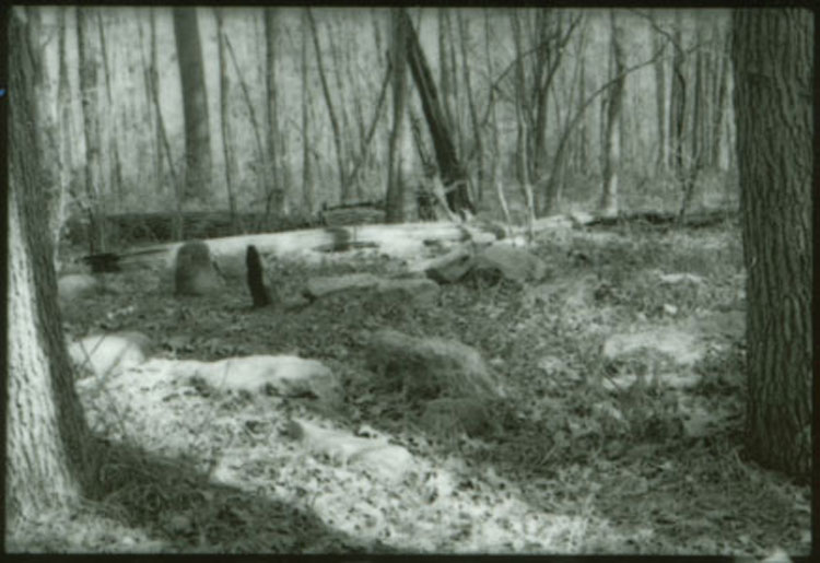
J. H. Graham Cemetery
J. H. Graham Cemetery 1986 Survey Information Site No.: Z-1185 Address: Near Lake Sam Rayburn Name: J. H. Graham Cemetery Date: 1830s Town: Zavalla, near Block: Graham Survey Condition: Fair; cemetery should be fenced....
view the listing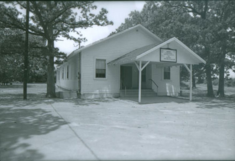
Retrieve School #13/Shawnee Switch
Retrieve School #13/Shawnee Switch 1986 Survey Information Site No.: Z-1184 Address: Highway 69, 6.5 Miles Southeast of Huntington at Ozias Name: Retrieve School #13/Shawnee Switch Town: Huntington, Rural Condition: Good...
view the listingLala School #44
Lala School #44 1986 Survey Information Site No.: Z-1183 Address: Approximately 6.0 miles southeast of Huntington on FM 844 Name: Lala School #44 Date: 1900 Condition: Structure no longer on...
view the listing
Ora First Missionary Baptist Church/School
Ora First Missionary Baptist Church/School 1986 Survey Information Site No.: Z-1182 Address: Approximately 1.5 miles north of FM 2109 on county near Sam Rayburn Reservoir Name: Ora First Missionary Baptist Church/School...
view the listing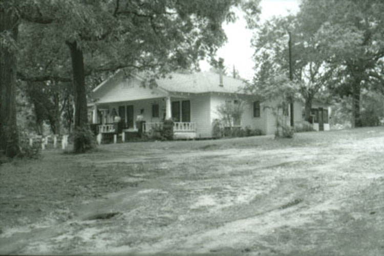
Campus Street – 3
Campus Street 1986 Survey Information Site No.: Z-1181 Address: Campus Street Name: C. L. Vines Date: 1925-1930 Town: Zavalla Condition: Good Description: 1-story; wood frame with horizontal board siding; raised foundation;...
view the listing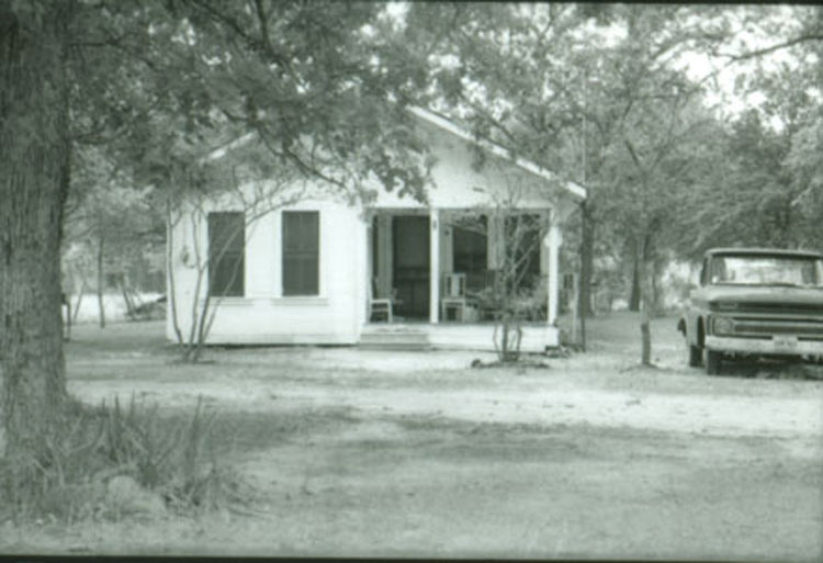
Campus Street – 2
Campus Street 1986 Survey Information Site No.: Z-1180 Address: Campus Street Date: 1920-1930 Town: Zavalla Condition: Good Description: 1-story; wood frame with bull-nosed siding; rectangular plan; gable roof with knee braces,...
view the listing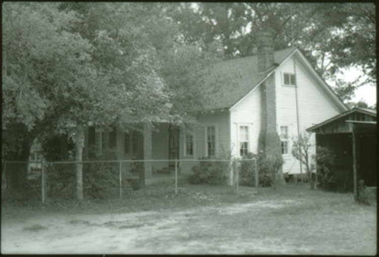
Victorian Cottage & Farm Complex
Victorian Cottage & Farm Complex 1986 Survey Information Site No.: Z-1179 Address: Unknown Date: 1910 Condition: Good Description: 1-story; wood frame with bull-nosed siding; rectangular plan; wood block foundation;...
view the listing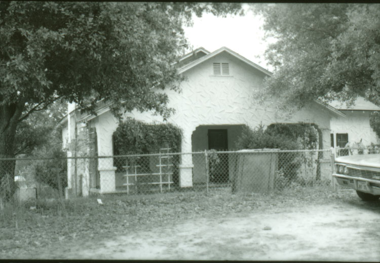
Campus Street – 1
Campus 1986 Survey Information Site No.: Z-1178 Address: Campus Street Date: 1930s Town: Zavalla Condition: Good Description: 1-story; wood frame with plaster with raised diagonal stick surface; rectangular plan; gable roofs...
view the listing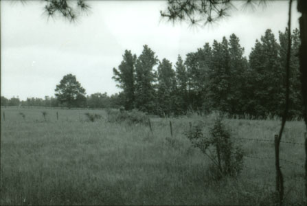
McMillan Turpentine Camp
McMillan Turpentine Camp 1986 Survey Information Site No.: Z-1177 Name: McMillan Turpentine Camp Date: 1922 Description: Cleared field; no structural remains. Significance: Was site of McMillan Turpentine Camp; about forty black...
view the listing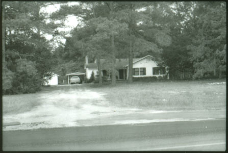
Camp Nancy/David Renfro House
Camp Nancy/David Renfro House 1986 Survey Information Site No.: Z-1176 Name: Camp Nancy/David Renfro House Date: 1923 Town: Rural Zavalla/Nancy Rural Area Description: Only structures standing are a modern residence and farm...
view the listing
Recent Comments